IDEABRIX GEO
The Subsurface Intelligence Agent.
Stop staring at noisy B-Scans. Deploy autonomous agents that fuse GPR, Seismic, and Resistivity data to detect anomalies with 90% higher accuracy than manual interpretation.
Stop staring at noisy B-Scans. Deploy autonomous agents that fuse GPR, Seismic, and Resistivity data to detect anomalies with 90% higher accuracy than manual interpretation.
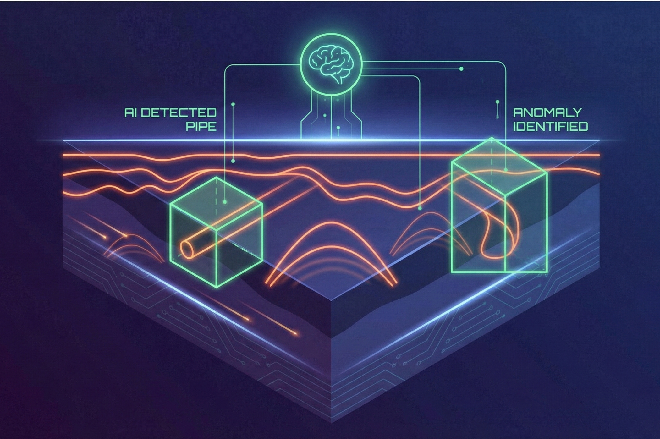
Upload raw .dzt or .rd3 files. The agent applies gain, migration, and background removal, then draws bounding boxes around potential targets.
Don't rely on just one sensor. The agent overlays Resistivity Profiles onto Seismic Sections to confirm if an anomaly is water (conductive) or void (resistive).
The agent writes the final survey report for you. It calculates the depth, estimates the material type, and generates a PDF summary ready for the client.
Drag & Drop Raw Survey Data
Agent cleans noise & identifies hyperbolas
Download CAD/GIS map of subsurface utilities